Dual EO / IR Vision
A 4K electro-optical sensor and a radiometric thermal core run side by side for round-the-clock observation in any light.
Argosdyne's professional drone lineup — round-the-clock EO/IR surveillance with BIGEYE T and survey-grade aerial mapping with EASYMAPPER, on proven autonomous airframes.
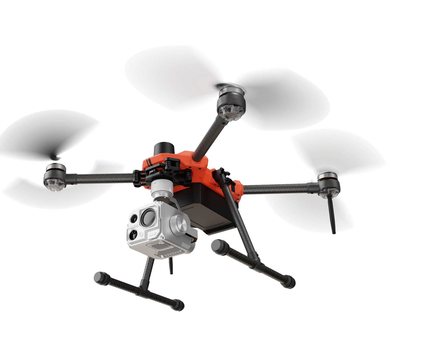
A 4K electro-optical sensor and a radiometric thermal core run side by side for round-the-clock observation in any light.
Per-pixel temperature data turns the thermal feed into measurable intelligence for inspection and detection workflows.
On-board object detection locks onto and follows targets automatically, reducing operator workload during missions.
Smart drone mapping for faster, safer, and more accurate surveying — redefining endurance and intelligence in professional aerial mapping.
A new-generation professional mapping platform with extended endurance and survey-grade accuracy. It carries a swappable multi-sensor gimbal that accepts two to three interchangeable payloads for true mission flexibility.
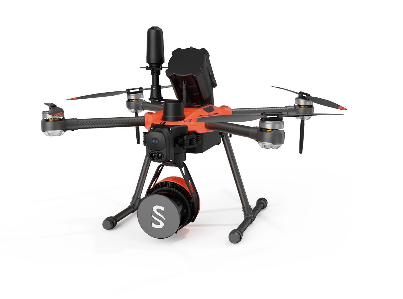
One shared gimbal accepts 2–3 interchangeable payloads, so a single aircraft covers multiple mapping roles.
An FPV camera and long-range LiDAR detect obstacles up to 50 m ahead for safe autonomous flight.
An integrated failsafe automatically deploys during critical failures to protect equipment and people below.
Built on the same gimbal as Ultra, the Duo switches instantly between YellowScan LiDAR and a Sony ILX-LR1 camera without tools — letting one aircraft handle multiple mission types.
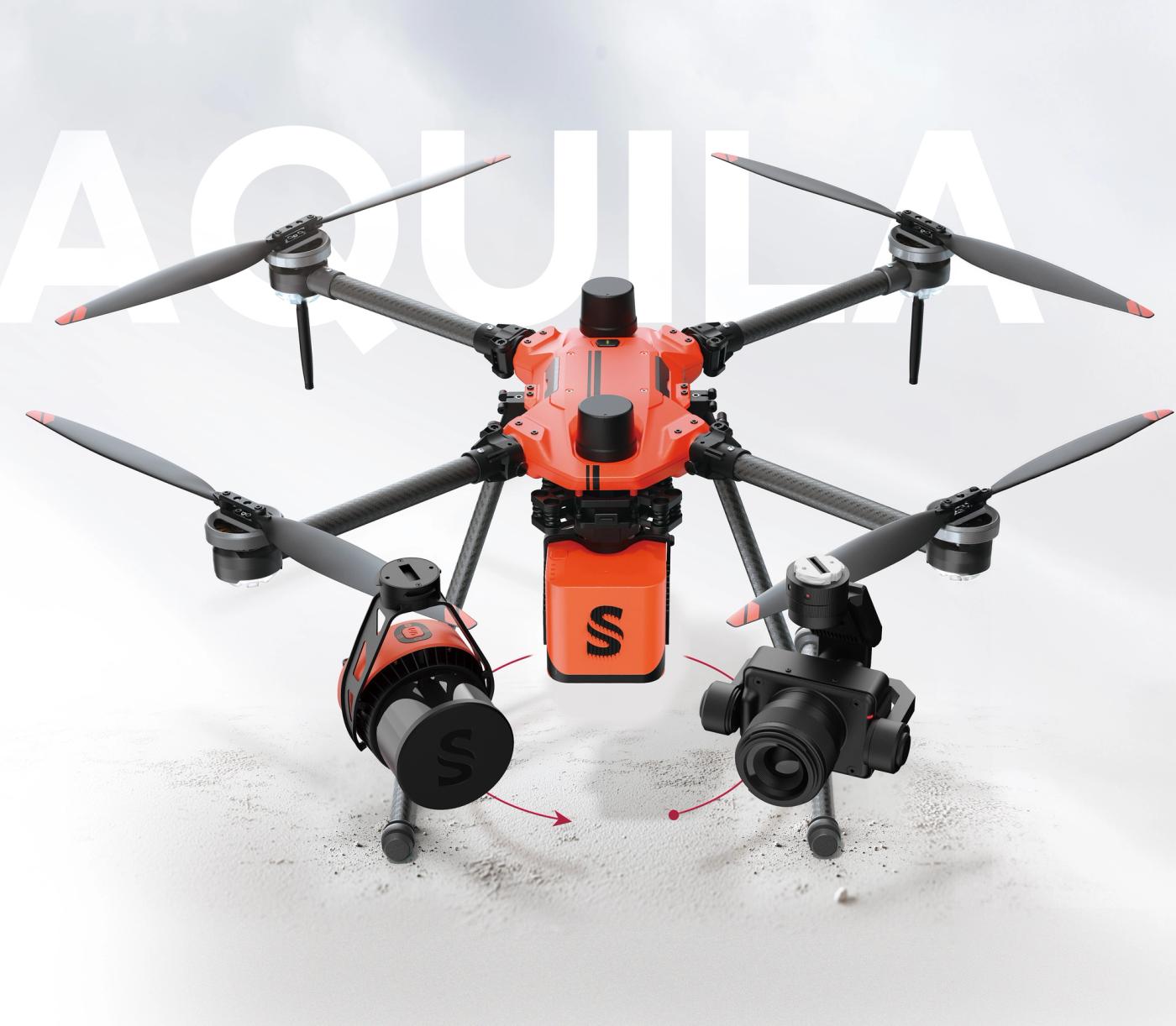
Change between LiDAR and camera in seconds on the shared gimbal — no tools required.
Pairs YellowScan LiDAR with a Sony ILX-LR1 full-frame camera for both 3D and photogrammetry.
Mapping, inspection, and survey workflows from a single airframe — maximising field productivity.
An affordable, flexible platform fitted with a YellowScan camera for reliable aerial and mobile mapping — with exceptional vegetation penetration and high-density point clouds.
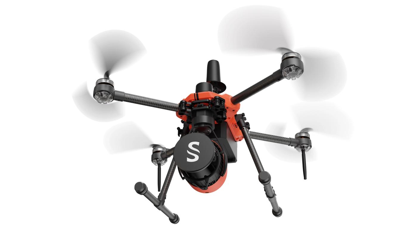
A dedicated YellowScan mapping payload delivering dense, accurate point clouds in the air or on the move.
Extended airborne endurance covers wide-area missions on a single flight.
Full ambient capture with survey-grade 3 cm accuracy for dependable results.
* Flight time may vary depending on operating conditions.
* AQUILA-2: 35 min flight time, AQUILA-3F: 45 min flight time
Send us a message and our team will respond within one business day.